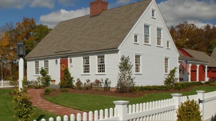
A zoning location survey shows where your buildings and other improvements sit on your lot and how far they are from your property lines. Towns use it to confirm that new work meets setback requirements, and it is often needed for variances, certificates of occupancy and real estate closings.
Common uses
- Foundation and as-built locations for new construction
- Variance applications to the zoning board
- Certificates of occupancy
- Home sales and refinancing
Common questions
What is a zoning location survey?
It's a map showing your property lines and where the house, garage, driveway and other improvements sit, with distances to the lines, so the town can check them against zoning setbacks.
Who usually asks for one?
Town zoning and building offices, lenders and attorneys often ask for one when you build, apply for a variance, or buy or sell a home.