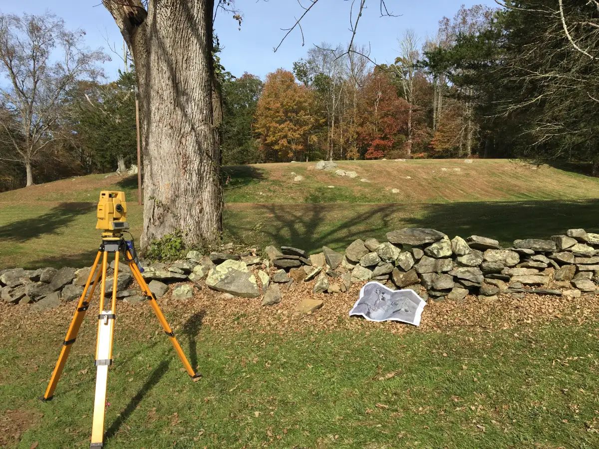
Whether you’re putting up a fence, building a garage or pool, or just want to know what you own, a boundary survey shows exactly where your property lines run.
What a boundary survey includes
- Research of deeds, town land records and earlier maps for your property and your neighbors’
- Field work to find existing monuments, iron pins and stone walls
- Your property lines located and marked on the ground
- A signed map when you need one for a permit, a sale or your records
Site plans for building projects
Planning a garage, addition, pool, shed or fence? We draw a site plan showing your lot lines, the existing house and the proposed work, so your contractor builds in the right place and your town has what it needs to issue the permit.
Common questions
When do I need a boundary survey?
Common reasons are putting up a fence, building a garage, addition or pool, settling a disagreement with a neighbor, or buying and selling land. If you're not sure, call us and we'll tell you what fits your project.
Will you mark the lines on the ground?
Yes. We locate your boundary and mark the lines in the field so you, your neighbor and your contractor can see exactly where they run.
Can you provide a map for my building permit?
Yes. We prepare site plans showing your property lines and the proposed work for your town's zoning or building office.